Business guideLoading border business guide
Preparing traveler intent, crossing context, regional guide areas, packages, and sponsor rules.
Preparing traveler intent, crossing context, regional guide areas, packages, and sponsor rules.
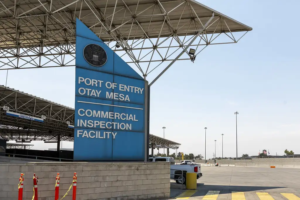
Reach people planning routes, comparing wait times, reading guides, and choosing local stops before or after a crossing.
Start with the crossing your customers use most, then choose placements beside wait pages, regional guides, alerts, and local planning tools.
Different crossings and lane types create different local needs. Choose categories that fit the trip.

Help travelers find a good place to stop before or after crossing.
Photo: Tuxyso · CC BY-SA 3.0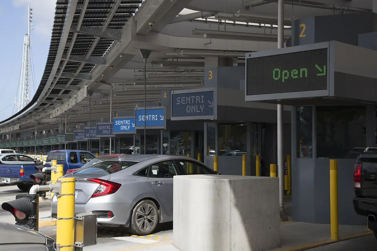
Show nearby parking options when travelers compare crossing plans.
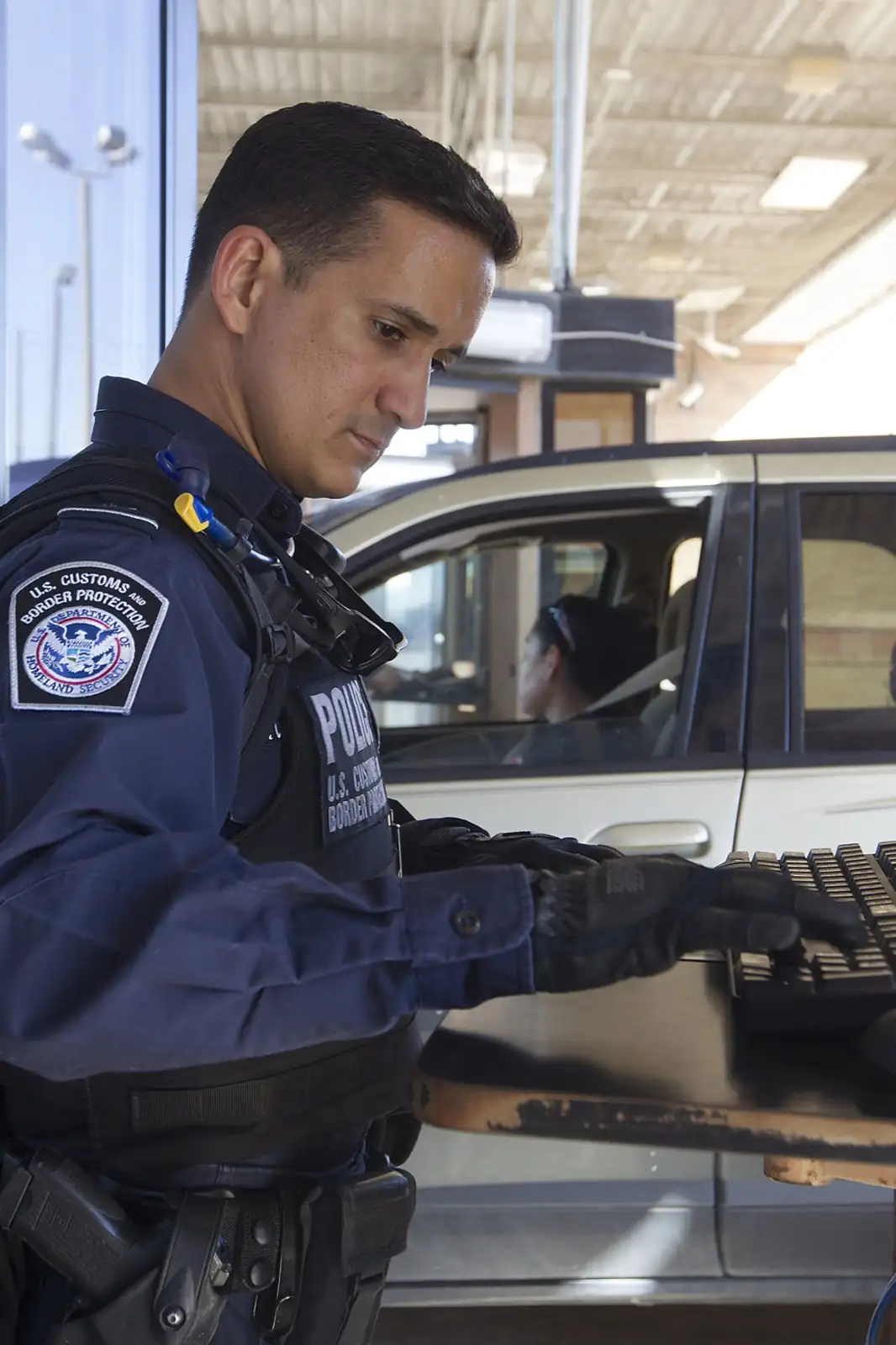
Photo: U.S. Customs and Border Protection · Public domain
Help travelers find food while waits change and plans shift.
Photo: IFCM · CC BY 3.0Make clinics easier to find for cross-border visitors planning appointments.
Photo: IFCM · CC BY 3.0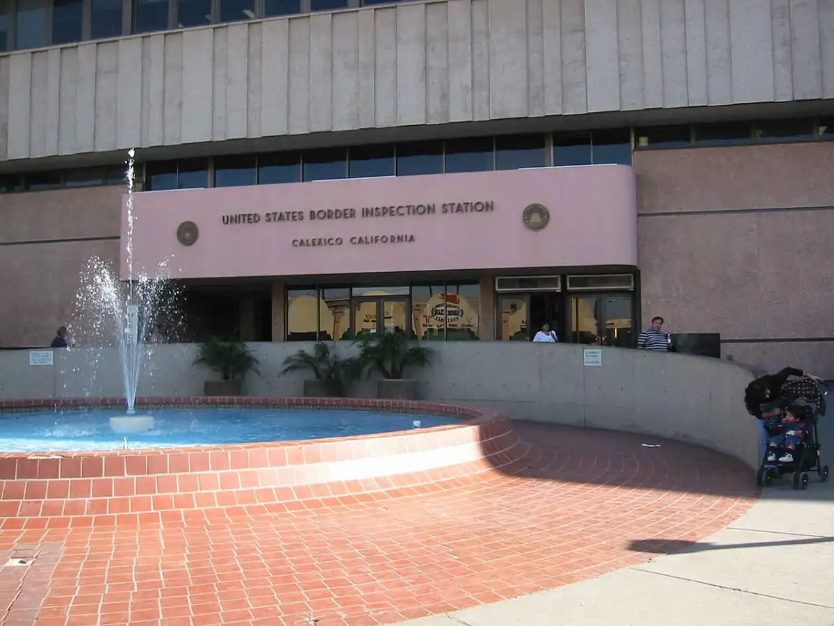
Help drivers find insurance options before they reach Mexico-bound lanes.
Photo: Wbaron · CC BY-SA 3.0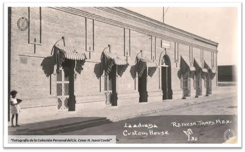
Show exchange options to travelers planning cash, cards, and errands.
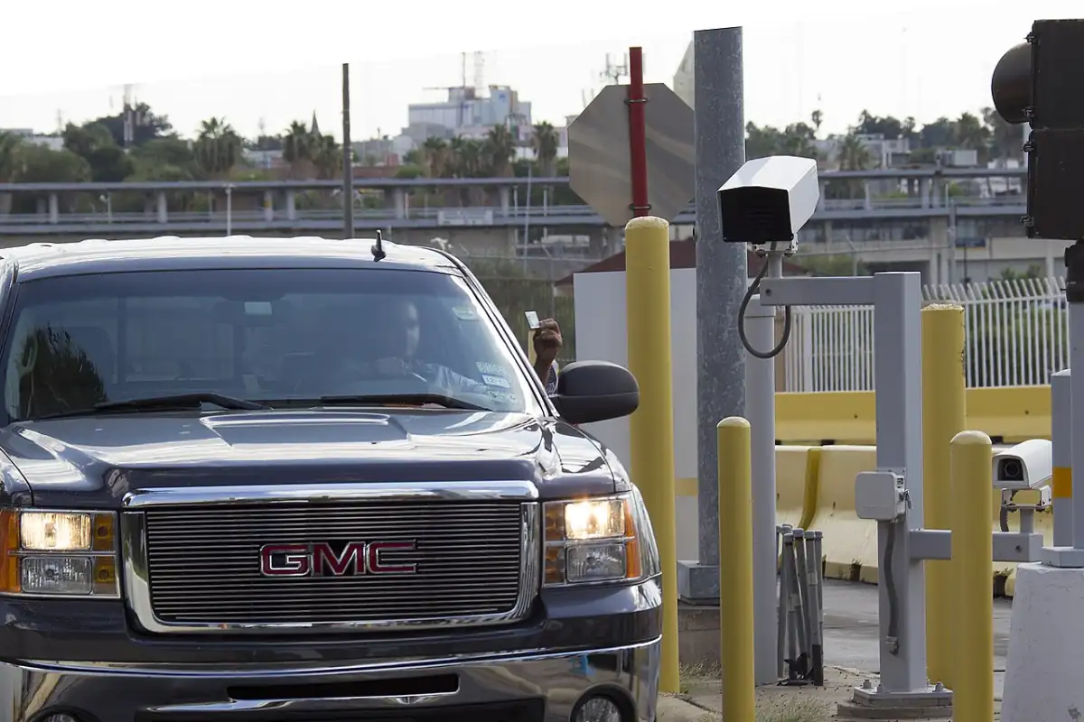
Photo: Unknown author · CC BY-SA 3.0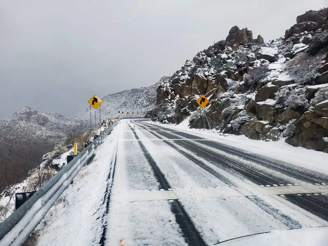
Help travelers find attractions, tours, and local stops near the border.
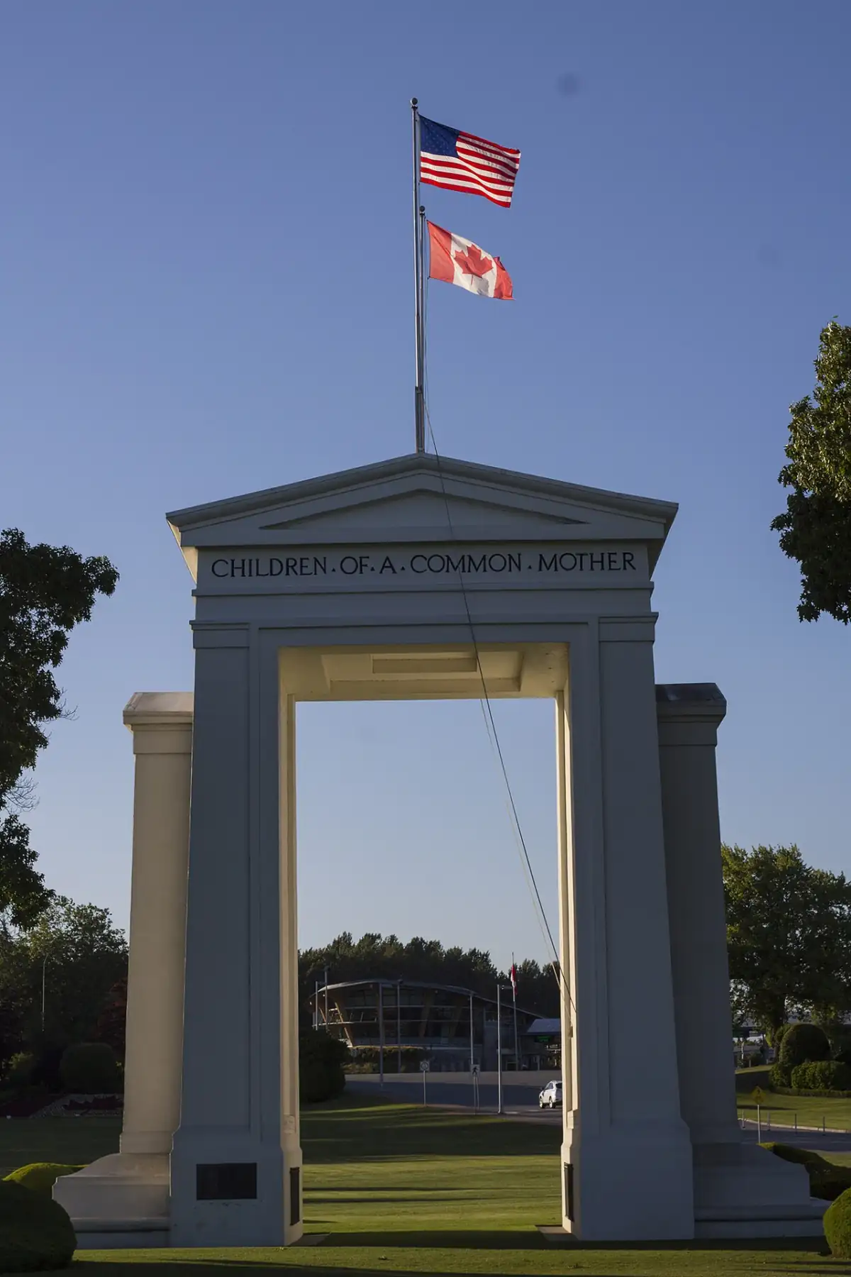
Photo: Juan O.Mena · CC BY-SA 4.0Port photos are exact crossing context. Regional photos are local trip context. Keep them separate.

Choose placements near crossings and regional guides your customers already use.
Add a wait card to your own site so travelers see a practical reason to return.
Build wait cardBusiness messages stay separated from wait data, route notes, and travel-safety guidance.
Review policy
.jpg)


