
Reporting dataLoading border wait reports
Preparing public links, camera context, photo credits, and citation guidance.
Preparing public links, camera context, photo credits, and citation guidance.
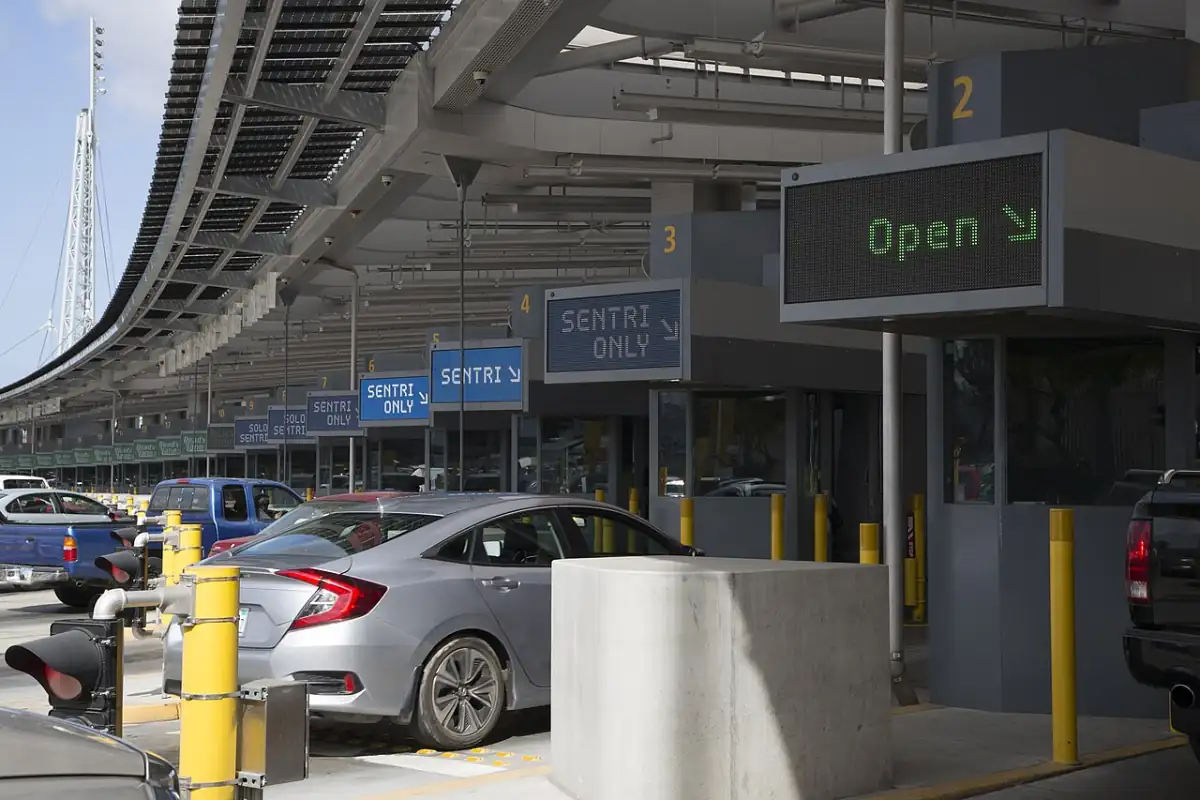
Use recent waits, short history, weather notes, and update details together when planning a trip or writing a local guide.
Use reports with data context: cite page, newest update, coverage range, and limits instead of quoting a wait number alone.
Choose one path. Every path keeps freshness, direction, and attribution visible.
Each topic combines the right page with the limit you should preserve.
Use for departure decisions only when update time and lane type are visible.
View crossingsUse for patterns, not as the current line or a promise for tomorrow.
Open historyAdd comfort, visibility, and access context beside the current wait.
View weatherUse for historical freight, vehicle, pedestrian, and seasonal context—not current wait.
View volumeKeep visible credit, license, and label; use port photos on crossing pages.
View creditsInclude provider, newest update, and useful limits. Use cards with visible attribution.
Build a cardCite the page, data provider, newest update, lane type, coverage range, and any old or missing data notes.
Use current waits for departure decisions and history for pattern context. Do not present historical averages as the line right now.
Use the wait-card widget for current waits or the historical chart widget for trends. Keep visible attribution and the main crossing link.
Camera links and photos add visual context only. They do not replace lane waits, update status, alerts, or posted restrictions.