Regional guides
Loading regional guide index
Preparing region cards, weather planning, verified photos, and crossing context.
Preparing region cards, weather planning, verified photos, and crossing context.
Crossings, weather, verified photos, nearby routes, and local services grouped by region.
Start with your trip region, compare nearby crossings, and confirm the current wait before driving.
Each guide keeps photos and credits separate.
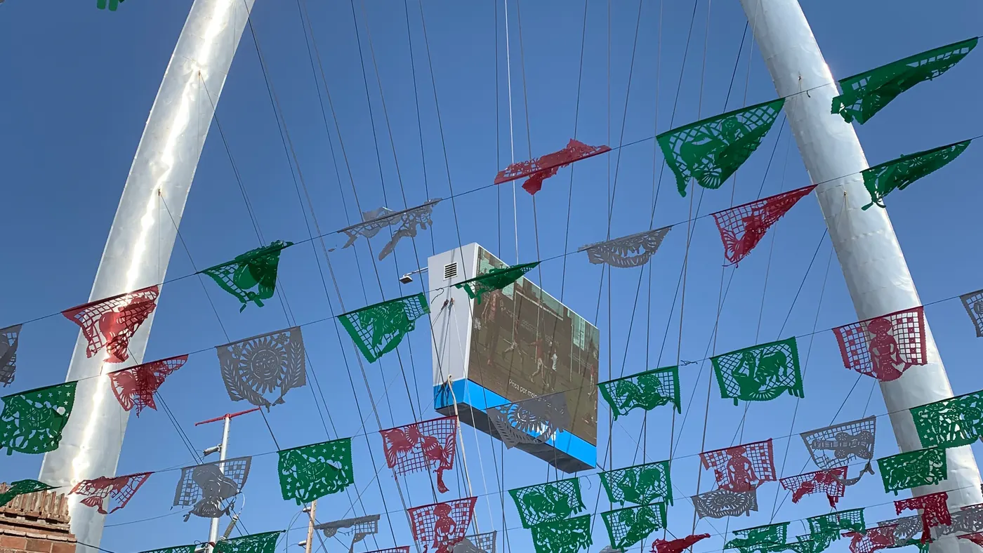
Fast regional view for San Ysidro, Otay Mesa, Tecate, airport-area weather, and useful nearby stops.
San Ysidro · Otay Mesa · TecatePhoto: Ncysea · CC BY-SA 4.0Open guide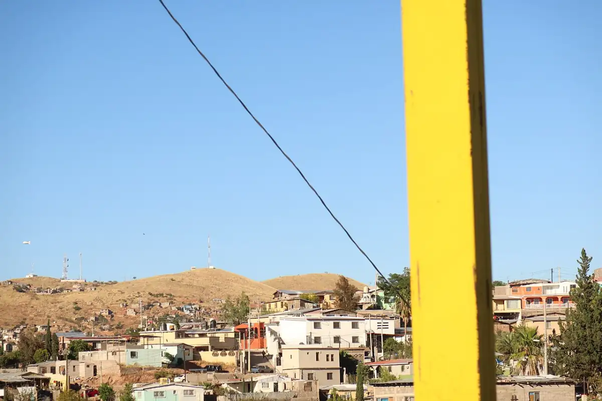
Nogales-focused waits, weather, and traffic signals for DeConcini and Mariposa.
Nogales DeConcini · Nogales MariposaPhoto: Electronic Frontier Foundation · CC BY 3.0Open guide
Laredo, Hidalgo, Pharr, Brownsville, heat, storm, and delay planning.
Laredo Bridge II · Colombia Solidarity · Hidalgo · Pharr · Brownsville VeteransPhoto: Billy Hathorn · CC BY-SA 3.0Open guide
Peace Bridge and Rainbow Bridge wait, weather, and visitor-area planning.
Peace Bridge · Rainbow BridgePhoto: George Burns · Public domainOpen guide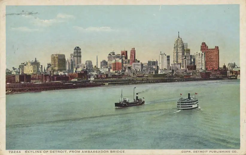
Ambassador Bridge regional view for commercial and passenger traffic.
Ambassador BridgePhoto: Unknown author · Public domainOpen guide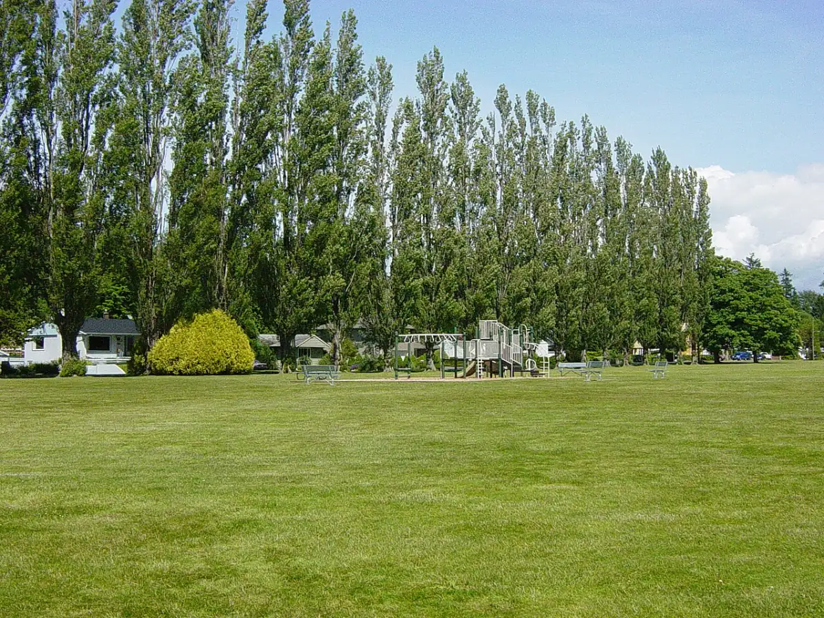
Peace Arch, Pacific Highway, and Sumas weather and border planning for Washington and British Columbia.
Blaine Peace Arch · Pacific Highway · SumasPhoto: Dtbrown · Public domainOpen guideHeat, wind, rain, snow, and fog can change comfort, approach routes, and trip buffer.
Weather guideWait pages use port photos. Regional guides use regional photos with visible credits.
Photo creditsHistory and external data help planning, but current wait and data age decide.
Read guide
.jpg)