
Regional guidesLoading regional guide index
Preparing region cards, weather planning, verified photos, and crossing context.
Preparing region cards, weather planning, verified photos, and crossing context.
Preparing regional crossings, data notes, visitor planning, and context photos.
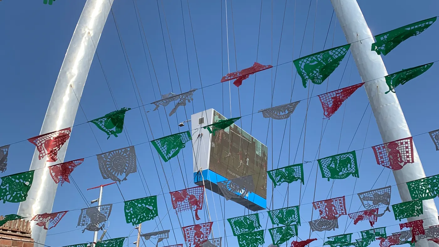
Fast regional view for San Ysidro, Otay Mesa, Tecate, airport-area weather, and useful nearby stops.
Quick regional answer: compare wait, update, history, and camera in one card before opening the crossing.
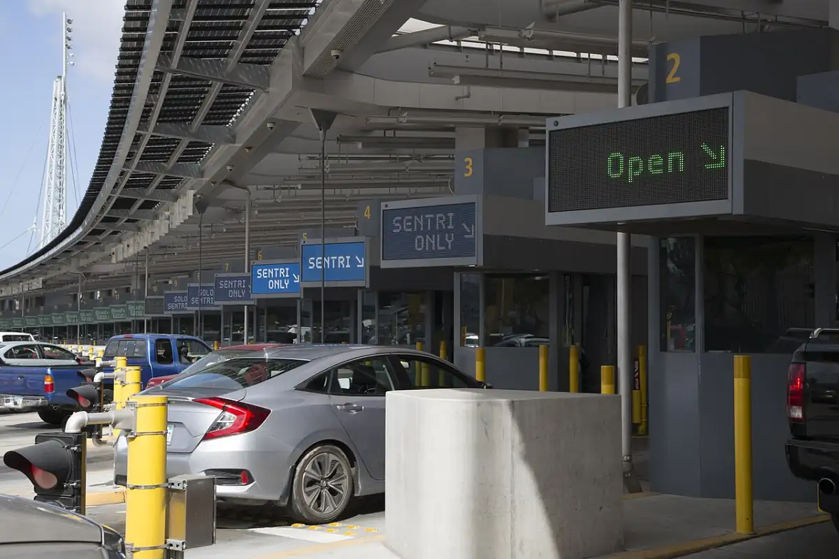
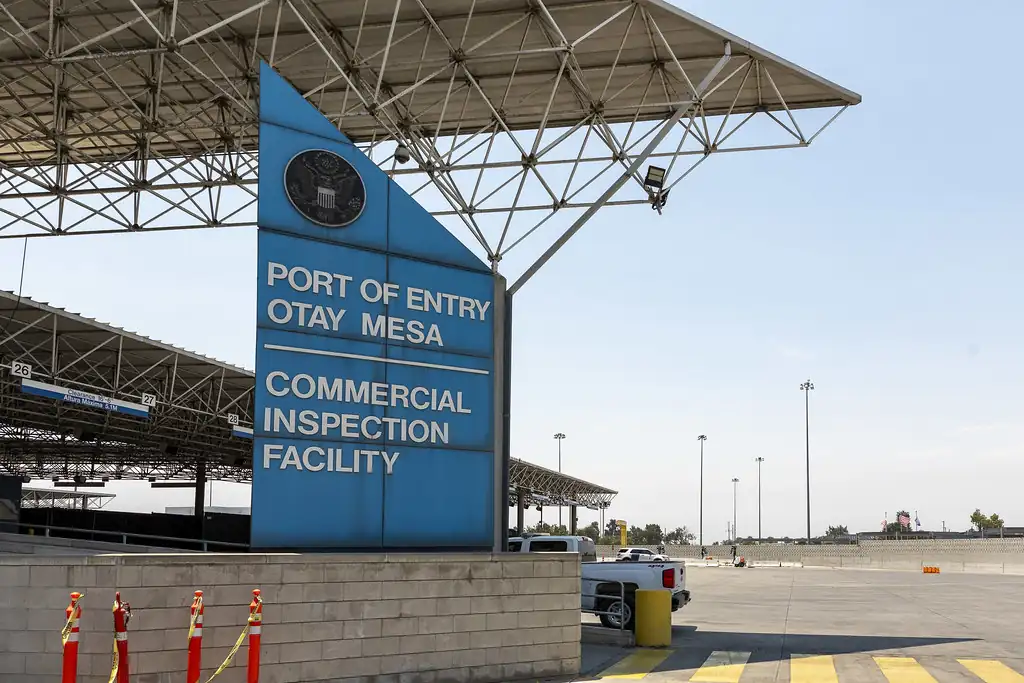
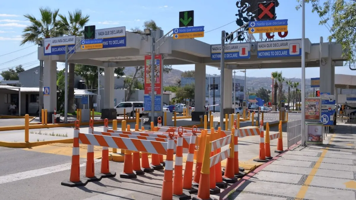
Use San Ysidro, Otay Mesa, and Tecate as the starting point, then plan the trip around the real destination: Tijuana, Playas, Rosarito, Puerto Nuevo, Ensenada, La Bufadora, Valle de Guadalupe, Tecate, or La Rumorosa.
Good for a short urban trip: food, CECUT, Avenida Revolucion, hotels, clinics, shopping, and night plans.
Park or stage before the pedestrian crossing if you do not need a car. If driving, pick a hotel or paid lot with controlled parking before you cross.
Baja California TravelA slower coastal stop for the boardwalk, restaurants, ocean views, and a lower-pressure base than central Tijuana.
Use San Ysidro for the shortest city approach, but keep return traffic and parking in mind on weekends and sunset hours.
Baja California seasonal guideBeach, surf, seafood, Puerto Nuevo lobster, resort stays, and family weekends south of Tijuana.
Confirm hotel parking, avoid a tight same-day return after dinner, and carry toll cash or a working card for the coastal route.
Baja California beach guideA deeper trip for the malecon, fish market, marina, breweries, hotels, nearby surf, and cruise-area restaurants.
Treat Ensenada as an overnight or full-day drive. Leave more buffer for the northbound return than for a short Tijuana errand.
Visit EnsenadaPopular blowhole stop for ocean views, walking, souvenirs, and a half-day add-on from Ensenada.
Go earlier in the day, avoid building the whole return around the last daylight hour, and confirm road/weather conditions before the drive.
Baja California Travel EnsenadaWine, restaurants, boutique stays, tastings, and a better overnight plan than a rushed same-day loop.
Reserve tastings and stays ahead, choose a driver or shuttle, and confirm the road surface and parking at each stop.
Valle de Guadalupe routeBakery stops, spas, ranch stays, craft beer, Cuchuma, and a slower border-town pace than the Tijuana corridor.
Use Tecate when the destination is east Baja or the mountain route makes sense. Do not assume it is faster without checking the current wait.
Baja California Travel TecateScenic mountain driving, weather swings, viewpoints, and a route that needs more planning than coastal Tijuana.
Check weather, fuel, daylight, and return timing. Carry extra buffer when wind, fog, rain, heat, or construction affects the grade.
Baja California nature and adventureRegional photos for planning stops, hotels, food, and routes.
Local context for tourism, hotels, food, and services near crossings.
Credit: Ncysea · CC BY-SA 4.0
Local context for tourism, hotels, food, and services near crossings.
Credit: Tuxyso · CC BY-SA 3.0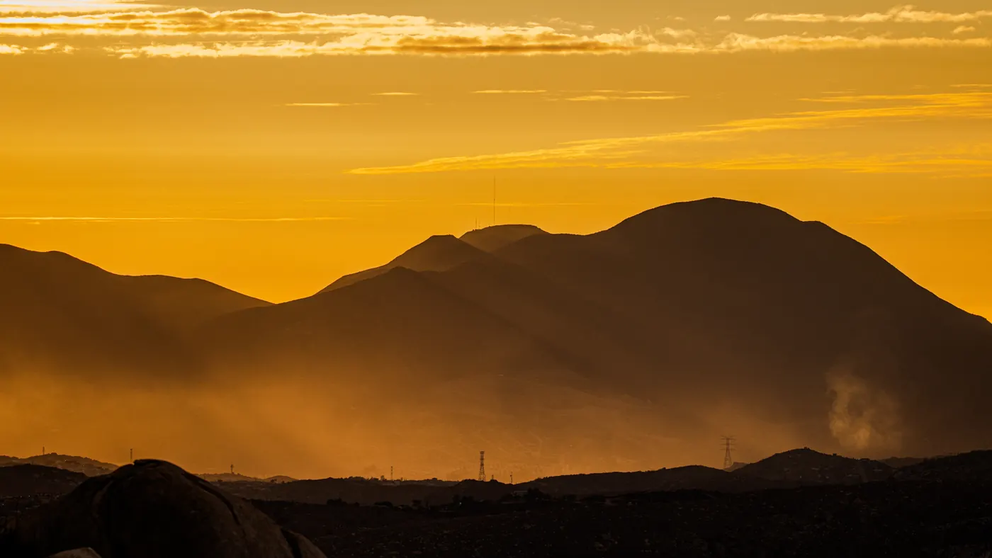
Local context for tourism, hotels, food, and services near crossings.
Credit: ANDRESMNDOZA · CC BY-SA 4.0Otay Mesa: 50 min · Checked recently
San Ysidro: 65 min · Checked recently
How to choose timeSet a crossing threshold. Avoid refreshing when your schedule is flexible.
Create alertHotels and stays · Restaurants and cafes · Parking near the crossing · Mexico auto insurance
Business guide

