
Data and creditsLoading data guidance
Preparing current-wait, history, weather, volume, camera, photo, and citation boundaries.
Preparing current-wait, history, weather, volume, camera, photo, and citation boundaries.
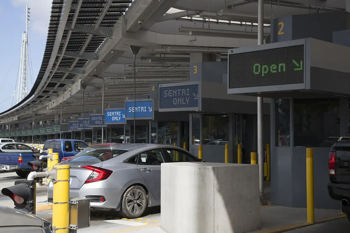
See where waits come from, what history covers, and how photos, weather, and volume fit into planning.
Share waits with provider, data age, and visible limits; do not mix historical averages with current waits.
Choose one path. Every path keeps freshness, direction, and attribution visible.
Compare freshness, required context, and limits before planning, analyzing, or publishing.
4 results
Check provider, update time, age, and lane before deciding.
Best for patterns, windows, and 30-day stories when coverage is strong enough.
Heat, wind, rain, and fog help plan comfort, access, and buffer.
Historical context for commercial, freight, and seasonal stories. Preserve BTS measure names.
Bridge, approach, and border-town cameras add visual context; each provider keeps control of its own streams.
Provider: SANDAG / 511 San Diego
Official traffic page includes events, speeds, and cameras. Display permission is not verified.
Provider: California Department of Transportation
Caltrans provides official camera images and location details at no charge. Keep provider credit visible; Border Times does not keep screenshots or inspect images.
Provider: City of Laredo International Bridge System
Official public camera page. City disclaimer requires prior written permission for commercial distribution or republication.
Provider: Texas Department of Transportation
Official TxDOT live camera district page. Keep link-first until source display and reuse terms are verified.
Port photos for wait pages. Regional photos for weather, route, and service context.
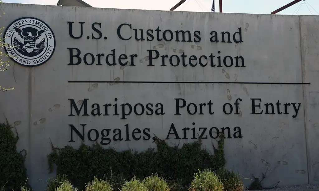
Use on crossing pages and wait context.
CBP photo by Jaime Rodriquez · Public domain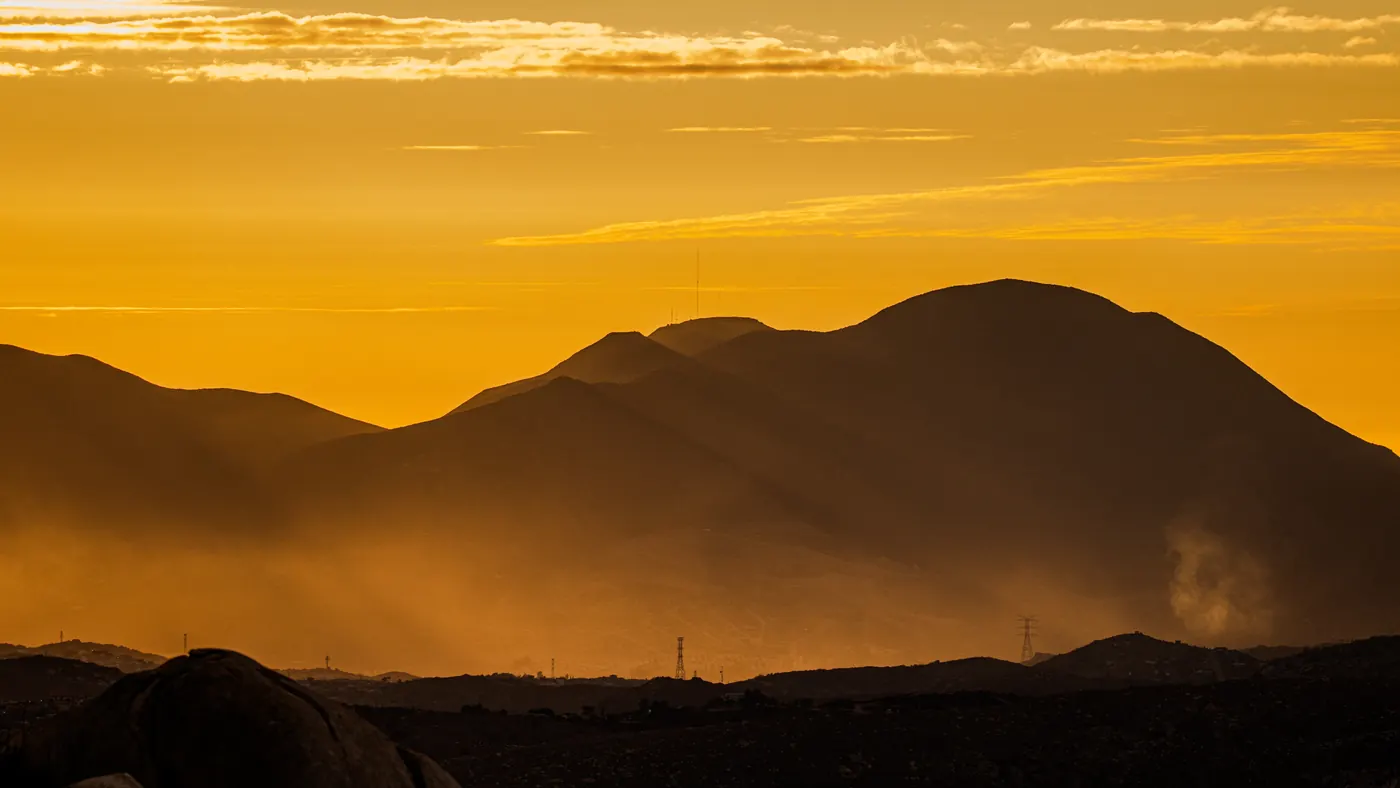
Use for weather, driving, and regional context.
ANDRESMNDOZA · CC BY-SA 4.0Keep these six checks and open only the reference you need.
Cite the provider, update time, data age, lane, and main crossing page. If data is old or incomplete, state that beside the wait.
No. History helps explain patterns and seasons, but it should not be presented as the current line. Use the crossing page for departure decisions.
Only when the owner allows display or reuse. Cameras without verified permission stay as official links; images are not copied, stored, or analyzed.
Use port photos for wait pages, regional photos for weather or route context, BTS volume for historical context, and weather only as planning support.
