
Crossing detailsLoading crossing wait page
Preparing current waits, lane details, history, cameras, and local border services.
Preparing current waits, lane details, history, cameras, and local border services.
Check Pacific Highway border wait times by lane, recent history, update status, nearby crossings, camera links, weather notes, and alerts before driving.
Page checked: Sep 4, 12:12 PM PDT
Historical pattern, not live forecast.
History shown: Mar 2010 to Sep 2026. Use it as context beside the current wait.
Selection updated.
72 of 116 readings shown; cards use the full selected lane and range.
Average: 6 minutes at Sep 2026. Low 0 minutes, high 15 minutes.
Check current wait before leaving. Compare, alert, and share actions keep this crossing and selection.
Each row uses the selected range so historical context stays separate from current waits.
| Data | Dunvale wait history |
|---|---|
| Coverage | Mar 2010 to Sep 2026 |
| Points | 116 |
| Rules | Cite data, range, visible update time, and any coverage note. |
Read coverage, data, range, and notes first. History does not replace current wait.
Quick answer: check Pacific Highway, lane, data age, weather, and nearby crossings before leaving for Surrey. If the wait is rising or the update is old, use alerts and compare another window.
Verified views from official or public pages. Search, filter by side, provider, and view type, then compare with current waits.
Images and videos that can render here, filtered by the controls above.
Provider: Government of British Columbia / DriveBC
DriveBC cameras page provides direct Pacific Highway camera images. Visible views load from DriveBC; search and social previews may use an approved thumbnail from verified camera views. Border Times does not keep or inspect camera images.
Provider: British Columbia Ministry of Transportation and Transit
Official BC transportation source. Use outbound cards until source terms are verified.
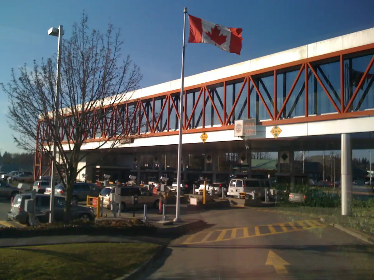
Verified photos of this crossing; no regional images or nearby-port substitutes.
Published profiles linked to this crossing. Sponsored labels disclose paid visibility; business facts stay independent.
Use local service categories, alerts, and history while active public profiles are added for this crossing.
Open directoryA shorter wait does not change lane requirements. Confirm official rules before travel.
Use when no trusted-traveler or special-lane eligibility applies.
View General waitUse only when the vehicle and every traveler meet current NEXUS requirements.
View NEXUS waitFor commercial vehicles and cargo processing; passenger-vehicle waits do not apply.
View Commercial waitChoose when the wait drops below or rises above your limit.