Weather planning
Loading weather and waits
Preparing weather risks, weekly buffer notes, regional photos, and data guidance.
Preparing weather risks, weekly buffer notes, regional photos, and data guidance.
Use weather to choose buffer, route, and comfort before joining the line. Heat, wind, rain, and fog can change the trip quickly.
If weather worsens, add buffer and check another crossing; the current wait does not always include slow approaches, bridges, or streets.
These factors change buffer, comfort, and access before reaching the port.
Heat raises fatigue during long lines. Carry water, fuel, and phone battery.
Wind can affect bridges, tall loads, dust, and pedestrian comfort.
Fog and marine layer can change approaches before the port.
Rain and storms can add time outside the official queue.
Use these days to choose route and buffer. Check the local forecast before leaving.
Planning context; confirm local weather for your departure.
Sunny
78 / 65 F · 12%Sunny
80 / 65 F · 12%Partly cloudy
81 / 64 F · 12%Partly cloudy
82 / 62 F · 12%Rain chance
82 / 61 F · 45%If weather worsens and wait trend rises, add buffer or set an alert. If waits ease and the route is clear, that window looks better.
Tecate/La Rumorosa, Niagara bridges, Peace Arch, and Texas crossings can shift with wind, heat, rain, or snow.
Regional photos help with weather and route planning; port photos help when the story is about a specific crossing.
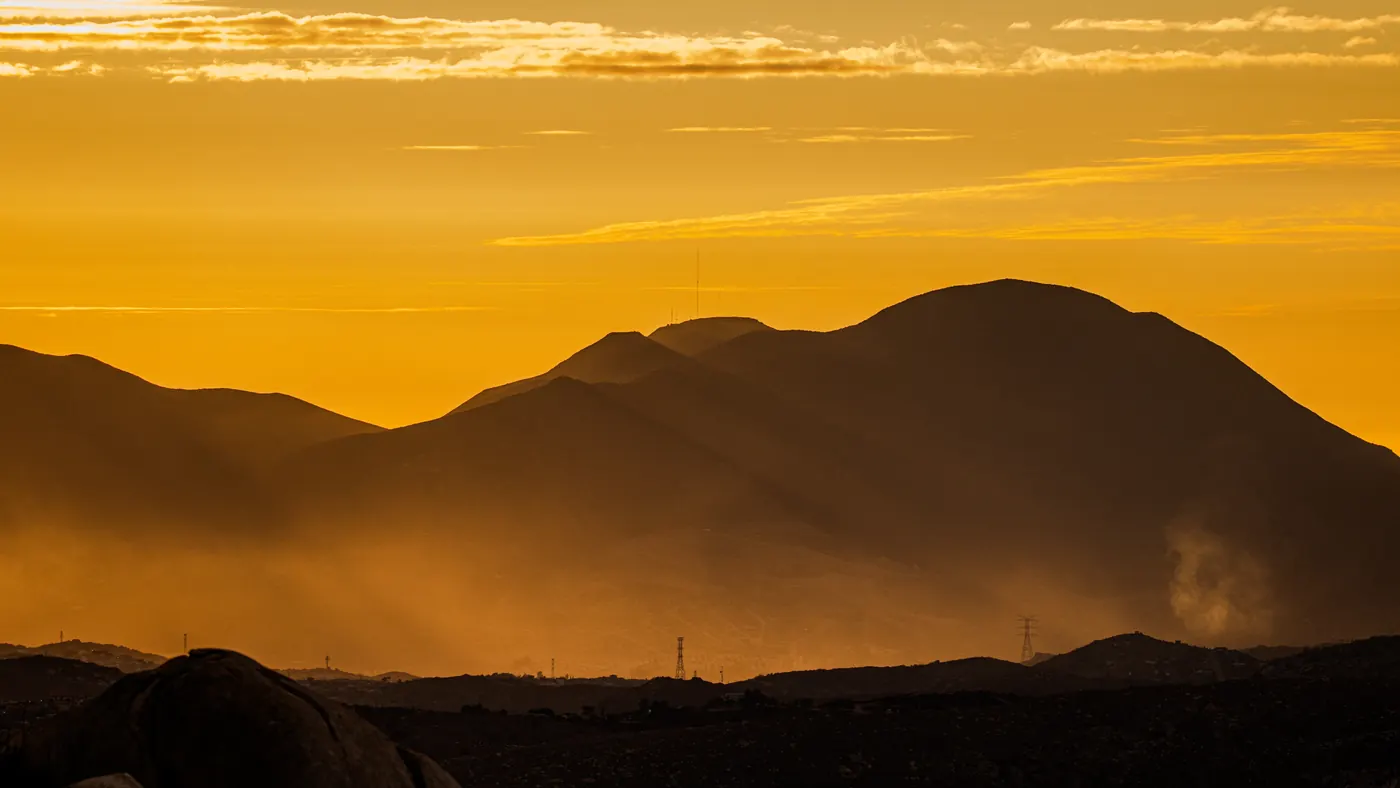
Fast regional view for San Ysidro, Otay Mesa, Tecate, airport-area weather, and useful nearby stops.
Ncysea · CC BY-SA 4.0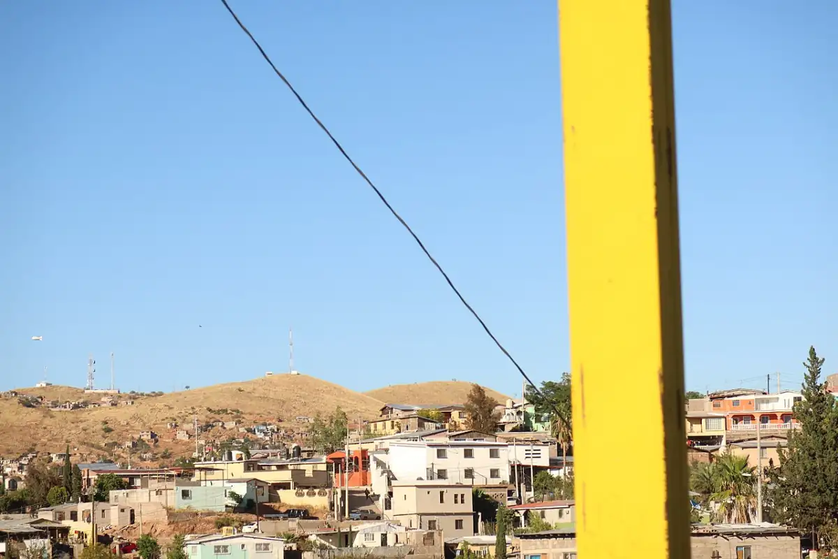
Nogales-focused waits, weather, and traffic signals for DeConcini and Mariposa.
Electronic Frontier Foundation · CC BY 3.0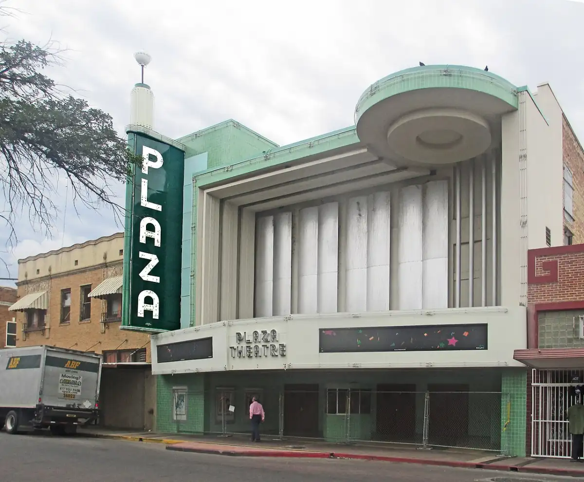
Laredo, Hidalgo, Pharr, Brownsville, heat, storm, and delay planning.
Billy Hathorn · CC BY-SA 3.0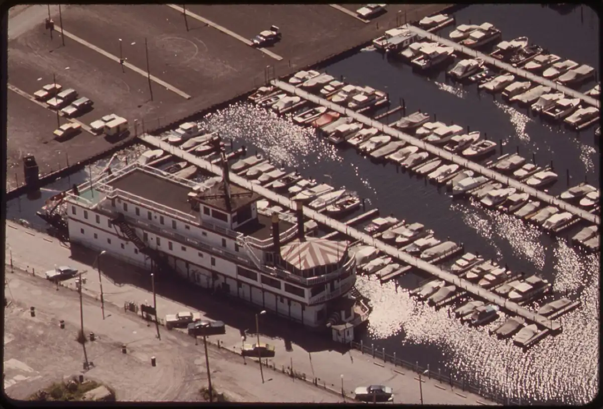
Peace Bridge and Rainbow Bridge wait, weather, and visitor-area planning.
George Burns · Public domain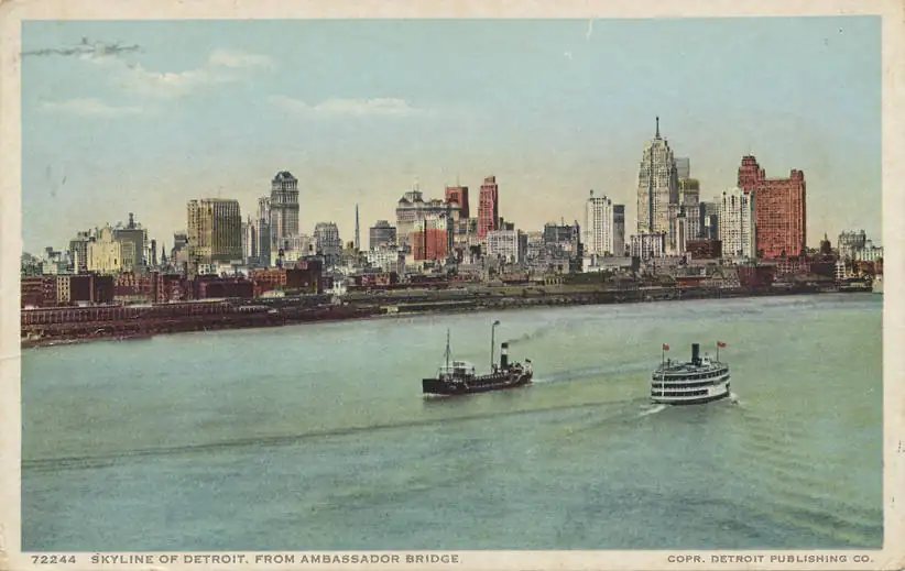
Ambassador Bridge regional view for commercial and passenger traffic.
Unknown author · Public domain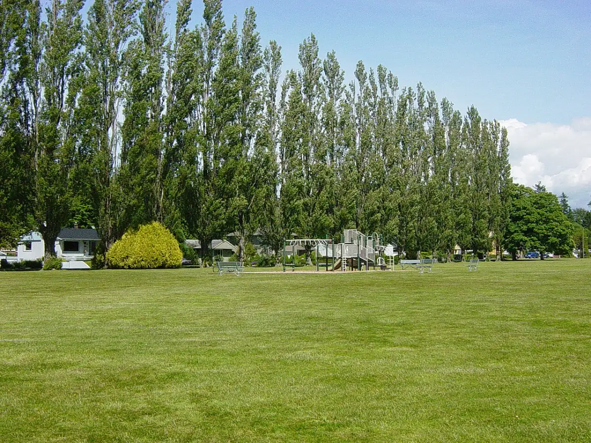
Peace Arch, Pacific Highway, and Sumas weather and border planning for Washington and British Columbia.
Dtbrown · Public domain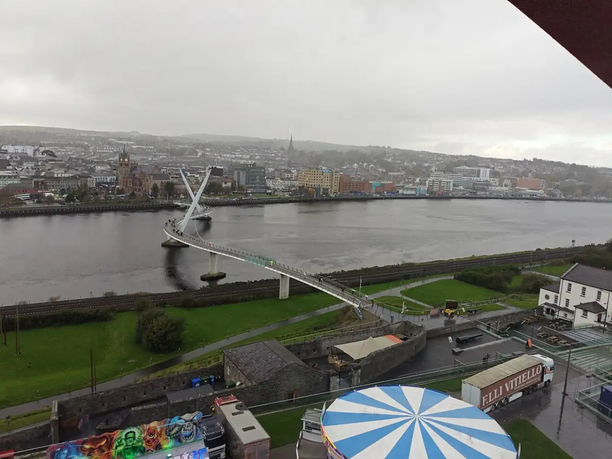
Use when the story is about the specific crossing.
Fantastic Mr. Fox · CC0Not always, but it can change approaches, bridges, nearby streets, comfort, and the buffer needed before reaching the port.
Start with the current crossing page. Then use heat, wind, rain, fog, or snow to decide buffer, route, and whether to wait for another window.
Mountain routes, bridges, windy crossings, high-heat areas, and snow-prone corridors can shift faster. Tecate/La Rumorosa, Niagara, Peace Arch, and Texas need extra buffer.
For local sites, use current wait widgets or historical chart widgets with attribution. Weather context should show provider and not replace lanes or update time.
.jpg)